


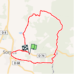

9.9 km | 12.6 km-effort

User


FREE GPS app for hiking
 SityTrail
IGN / Geographical institutes
SityTrail World
The world is yours!
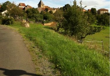
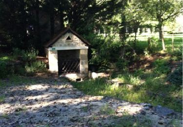
Trail Walking of 10.3 km to be discovered at New Aquitaine, Dordogne, Sorges et Ligueux en Périgord. This trail is proposed by tracegps.
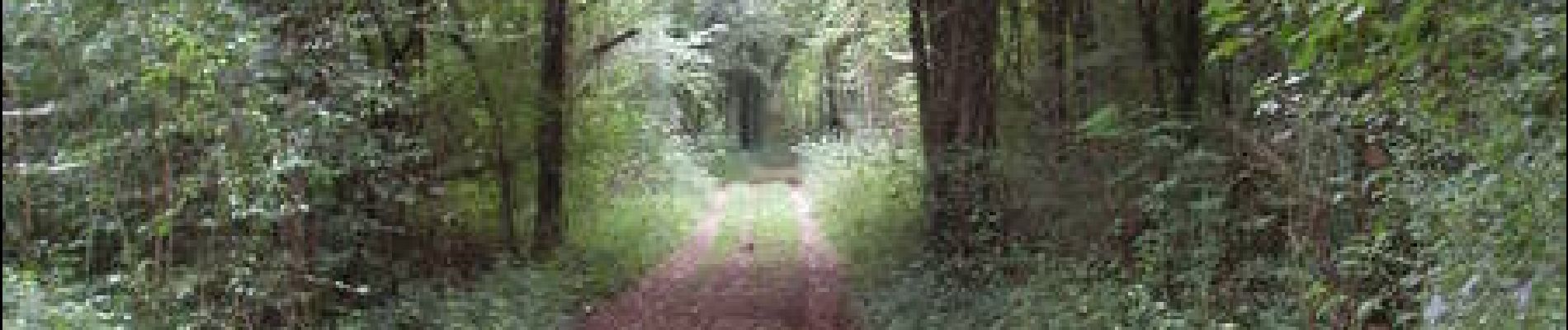
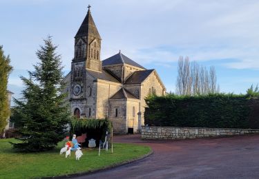
Balade autour de Sorges en Périgord, capital de la Truffe. Belles maisons typiques du Périgord. Bois et plaines, à Sorges très beau Musée de la truffe.


Walking
Walking
Walking

Walking
Walking
Walking
Walking
Walking

Walking
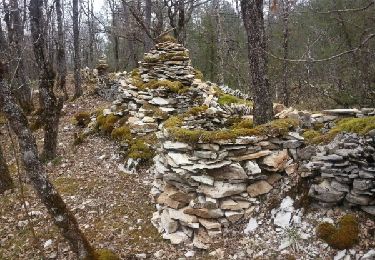
carte PDIPR nommée boucle d'Enchose ou des puits